Q: “Is it possible to locate the depth of a facility and, if so, why don’t locators provide depth measurements?”
A: “The vast majority of the time, the locator can determine the depth of a facility. In fact, the use of depth along with current reading is one of the steps to determine if the locator has identified the correct facility. A number of factors, including multiple facilities in the area, poor signal and an inability to directly connect to the facility, can cause the reading to be inaccurate. This is one of the reasons that depth is not provided to the excavator. Liability also plays a role in the situation. Who is liable if the depth given is incorrect? Also, many utility owners will not allow their locators to provide this information. There is a perception that if an excavator is given a depth of 36 inches, for example, that they will dig down 34 inches with a backhoe before they hand dig. Obviously, this is a horrible mischaracterization of the excavation community, but it only takes one bad apple to ruin the deal for all of us.”
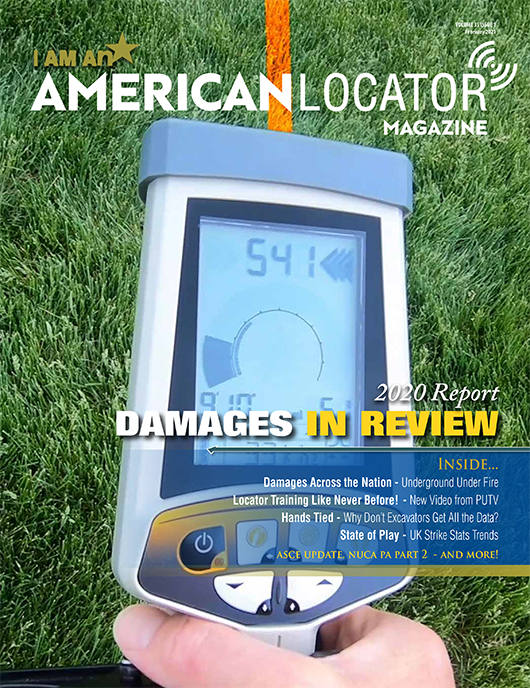
As the author of the original response published in that inaugural issue, Ron Peterson, Executive Director of Nulca noted, “The more things change, the more they stay the same.”
That little Q&A from 10 years ago took me back to a “discussion” with my favorite Packer fan Ted Andersen last summer at Planet Underground’s Roundtable Live! event. Ted is a retired gas company loss control manager, and he and I have debated this subject off and on for years. Ted makes some valid points about why providing depths could be both costly and ineffective. For example, if a locator was locating the length of a cable installed using directional drilling down a utility right of way, the cable depth could vary greatly over the length of the run. Measuring and marking depth at regular intervals over the course of a long run would drive up the time it takes (and thus the cost) to do the locate. Additionally, depending on the space between depth measurements, you could be off by a significant amount between marks. But my thinking is, that in many cases—utility bore crossings, open excavations and road construction crossings of existing facilities come to mind—depth measurements would be both practical and useful while adding little to the cost of the locate.


